
ಫೈಲ್:India district map (de-facto).svg

Size of this PNG preview of this SVG file: ೫೫೭ × ೬೦೦ ಚಿತ್ರೊ ಬಿಂದುಲು. ಬೇತೆಪಟೊತ್ತ ಗಾತ್ರೊ: ೨೨೩ × ೨೪೦ ಚಿತ್ರೊ ಬಿಂದುಲು | ೪೪೬ × ೪೮೦ ಚಿತ್ರೊ ಬಿಂದುಲು | ೭೧೩ × ೭೬೮ ಚಿತ್ರೊ ಬಿಂದುಲು | ೯೫೧ × ೧,೦೨೪ ಚಿತ್ರೊ ಬಿಂದುಲು | ೧,೯೦೨ × ೨,೦೪೮ ಚಿತ್ರೊ ಬಿಂದುಲು | ೧,೫೦೦ × ೧,೬೧೫ ಚಿತ್ರೊ ಬಿಂದುಲು.
ಮೂಲೊ ಫೈಲ್ (ಎಸ್.ವಿ.ಜಿ ಫೈಲ್, ಸುಮಾರಾದ್ ೧,೫೦೦ × ೧,೬೧೫ ಚಿತ್ರೊಬಿಂದು, ಫೈಲ್ದ ಗಾತ್ರ: ೩.೧ MB)
.svg)
ಸಾರಾಂಸೊ
| ವಿವರಣೆ |
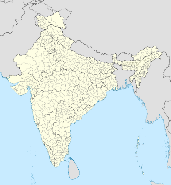
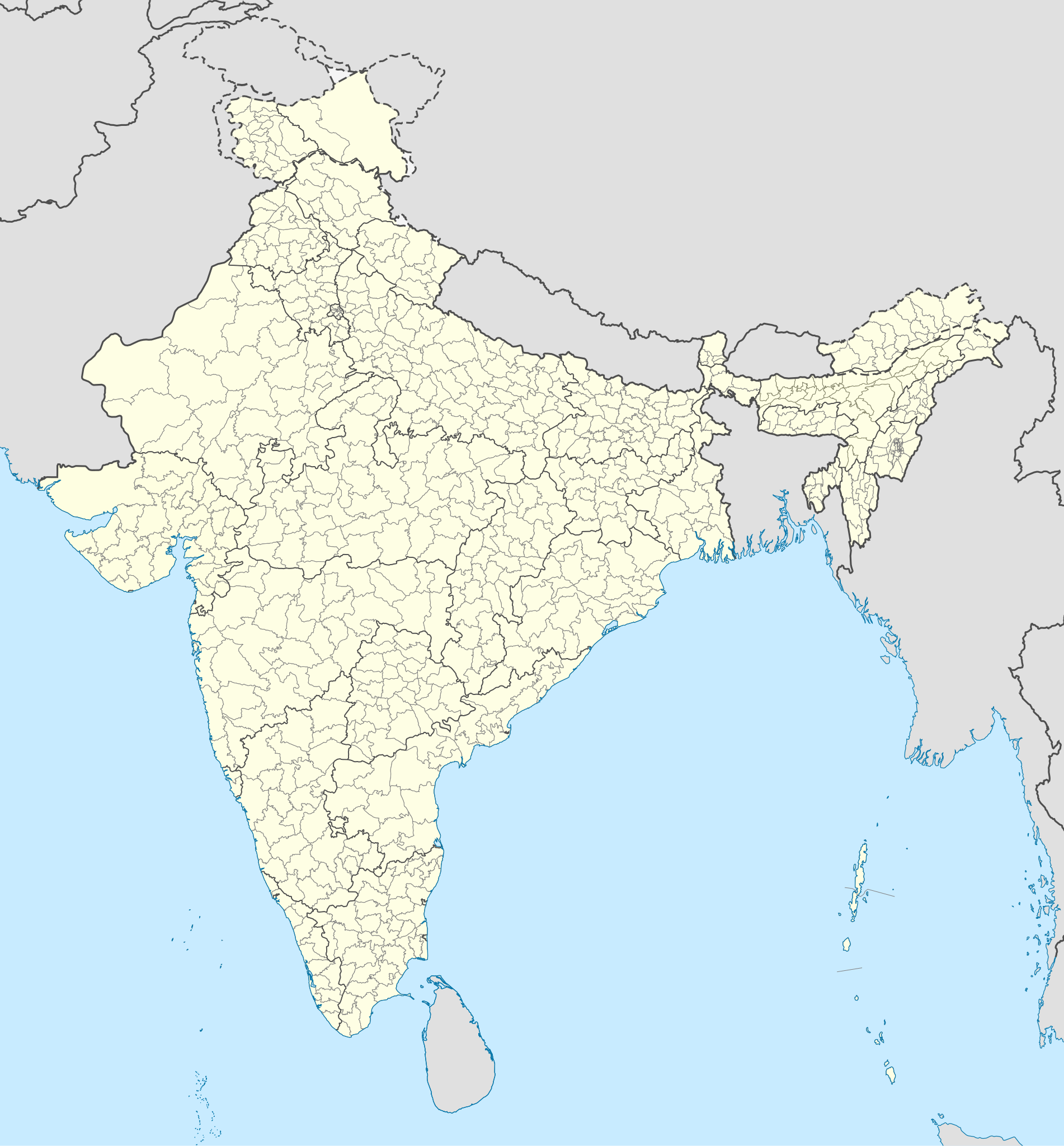
English: Map of the districts of India. |
| ದಿನೊ | |
| ಮೂಲೊ |
This file was derived from: India Telangana locator map.svg |
| ಲೇಕಕೆರ್ | Superbenjamin |
ಪರವಾನಿಗೆ
I, the copyright holder of this work, hereby publish it under the following license:
This file is licensed under the Creative Commons Attribution-Share Alike 4.0 International license.
- ಇರೆಗ್ ಸೊಸಂತ್ರೊ ಉಂಡು:
- ಪಟ್ಯರಗ್ – ಬೇಲೆನ್ ನಕಲ್, ವಿತರಣೆ ಮಲ್ಪೆರೆ ಬೊಕ್ಕ ಸಾಗಾಯೆರೆ
- ಮಿಸ್ರೊ ಮಲ್ಪೆರೆ – ಈ ಬೇಲೆನ್ ಗಲಸೊನಿಯೆರೆ
- ಈ ತಿರ್ತ್ದ ಸರತ್ತುಲೆಡ್:
- ಕೃಪೆ – ಲೇಕಕೆರ್ ಅತ್ತಂಡ ಲೈಸನ್ಸರ್ ವ್ಯಕ್ತೊ ಮಲ್ತಿನ ರೀತಿಡ್ ಲೇಕನೊದ ಶ್ರೇಯೊನು (ಕ್ರೆಡಿಟ್) ಅರೆಗ್ ಕೊರೊಡು .(ಆಂಡ ಇರೆನ್ ಅತ್ತಂಡ ಈರ್ ಲೇಕನೊನು ಗಲಸಿನೇನ್ ಆರ್ ಸಮರ್ಥನೆ ಮಲ್ತಿಲೆಕೊ ತೊಜಪಾವುನ ರೀತಿಡ್ ಅತ್ತ್).
- ಇತ್ತಿನ ಲೆಕೊನೆ ಪಟ್ಟ್ಲೆ – ಈರ್ ಈ ಕೃತಿನ್ ಬದಲಾವಣೆ ಅತ್ತಂಡ ರೂಪಾಂತರ ಮಲ್ತ್ಂಡ, ಅತ್ತಂಡ ಈ ಕೃತಿತ ಮಿತ್ತ್ ಬೇತೆ ದಾಲ ಬೇಲೆ ಮಲ್ತ್ಂಡ, ಐತ ಫಲಿತಾಂಸೊ ಕೃತಿನ್ ಈ ಲೈಸೆನ್ಸ್ ಅತ್ತಂಡ ಇಂಚಿಂತನೆ ಲೈಸೆನ್ಸ್ದ ತಿರ್ತ್ ಮಾತ್ರ ವಿತರಣೆ ಮಲ್ಪೊಲಿ.
ಫೈಲ್ದ ಇತಿಹಾಸೊ
ದಿನೊ/ಪೊರ್ತುದ ಮಿತ್ತ್ ಒತ್ತ್ಂಡ ಫೈಲ್ ಆ ಪೊರ್ತುಡು ಎಂಚ ತೋಜೊಂದಿತ್ತ್ಂಡ್ ಪಂದ್ ತೂವೊಲಿ.
| ದಿನೊ/ಪೊರ್ತು | ಎಲ್ಯಚಿತ್ರೊ | ಆಯಾಮೊಲು | ಬಳಕೆದಾರೆರ್ | ಅಬಿಪ್ರಾಯೊ | |
|---|---|---|---|---|---|
| ಇತ್ತೆದ | ೧೦:೪೮, ೨ ಮೇ ೨೦೨೨ | | ೧,೫೦೦ × ೧,೬೧೫ (೩.೧ MB) | C1MM | Updated to 2022 |
| ೨೨:೧೬, ೬ ಪೆಬ್ರವರಿ ೨೦೨೨ |  | ೧,೬೪೩ × ೧,೮೫೬ (೧.೮೮ MB) | Milenioscuro | standard colors | |
| ೧೦:೦೪, ೨೨ ಸಪ್ಟಂಬರ್ ೨೦೨೧ |  | ೧,೬೪೩ × ೧,೮೫೬ (೧.೮೮ MB) | C1MM | Removed duplicate districts | |
| ೦೯:೩೯, ೨೨ ಸಪ್ಟಂಬರ್ ೨೦೨೧ |  | ೧,೬೪೩ × ೧,೮೫೬ (೧.೮೯ MB) | C1MM | Added far more accurate district boundaries | |
| ೦೧:೫೩, ೧೭ ಪೆಬ್ರವರಿ ೨೦೨೧ |  | ೧,೬೪೩ × ೧,೮೫೬ (೨ MB) | C1MM | Added better district boundaries | |
| ೧೧:೩೦, ೧೩ ನವಂಬರ್ ೨೦೨೦ |  | ೧,೬೪೩ × ೧,೮೫೬ (೧.೯ MB) | C1MM | Updated shapefiles, made district boundaries more accurate | |
| ೦೨:೩೦, ೨೬ ಜುಲಾಯಿ ೨೦೨೦ |  | ೧,೬೪೩ × ೧,೮೫೬ (೧.೬೫ MB) | C1MM | Fixed state and intl border colours | |
| ೧೦:೩೦, ೨೫ ಜುಲಾಯಿ ೨೦೨೦ |  | ೧,೬೪೩ × ೧,೮೫೬ (೧.೬೪ MB) | C1MM | Reformatted for easier use, updated district map to situation as of July 2020 | |
| ೦೨:೦೪, ೧೬ ಮಾರ್ಚಿ ೨೦೧೭ |  | ೧,೬೪೩ × ೧,೮೫೬ (೮೦೦ KB) | Superbenjamin | User created page with UploadWizard |
ಫೈಲ್ದ ಉಪಯೋಗ
ಈ ತಿರ್ತ್ದ ಪುಟೊ ಈ ಫೈಲ್ಗ್ ಸಂಪರ್ಕೊ ಕೊರ್ಪುಂಡು.
ಜಾಗತಿಕೊ ಫೈಲ್ ಉಪಯೋಗೊ
ಈ ಫೈಲ್ನ್ ತಿರ್ತ್ ಉಪ್ಪುನ ಬೇತೆ ವಿಕಿಲು ಗಲಸುವ:
- anp.wikipedia.org ಮಿತ್ತ್ ಉಪಯೋಗೊ
- arz.wikipedia.org ಮಿತ್ತ್ ಉಪಯೋಗೊ
- bh.wikipedia.org ಮಿತ್ತ್ ಉಪಯೋಗೊ
- bn.wikipedia.org ಮಿತ್ತ್ ಉಪಯೋಗೊ
- de.wikipedia.org ಮಿತ್ತ್ ಉಪಯೋಗೊ
- en.wikipedia.org ಮಿತ್ತ್ ಉಪಯೋಗೊ
- es.wikipedia.org ಮಿತ್ತ್ ಉಪಯೋಗೊ
- fa.wikipedia.org ಮಿತ್ತ್ ಉಪಯೋಗೊ
- fr.wikipedia.org ಮಿತ್ತ್ ಉಪಯೋಗೊ
- hif.wikipedia.org ಮಿತ್ತ್ ಉಪಯೋಗೊ
- it.wikipedia.org ಮಿತ್ತ್ ಉಪಯೋಗೊ
- ko.wikipedia.org ಮಿತ್ತ್ ಉಪಯೋಗೊ
- mai.wikipedia.org ಮಿತ್ತ್ ಉಪಯೋಗೊ
- ne.wikipedia.org ಮಿತ್ತ್ ಉಪಯೋಗೊ
- nl.wikipedia.org ಮಿತ್ತ್ ಉಪಯೋಗೊ
- pnb.wikipedia.org ಮಿತ್ತ್ ಉಪಯೋಗೊ
- sat.wikipedia.org ಮಿತ್ತ್ ಉಪಯೋಗೊ
- simple.wikipedia.org ಮಿತ್ತ್ ಉಪಯೋಗೊ
- ta.wikipedia.org ಮಿತ್ತ್ ಉಪಯೋಗೊ
- th.wikipedia.org ಮಿತ್ತ್ ಉಪಯೋಗೊ
- tr.wikipedia.org ಮಿತ್ತ್ ಉಪಯೋಗೊ
- tum.wikipedia.org ಮಿತ್ತ್ ಉಪಯೋಗೊ
- uk.wikipedia.org ಮಿತ್ತ್ ಉಪಯೋಗೊ
- ur.wikipedia.org ಮಿತ್ತ್ ಉಪಯೋಗೊ
- vi.wikipedia.org ಮಿತ್ತ್ ಉಪಯೋಗೊ
- zh.wikipedia.org ಮಿತ್ತ್ ಉಪಯೋಗೊ
.svg)